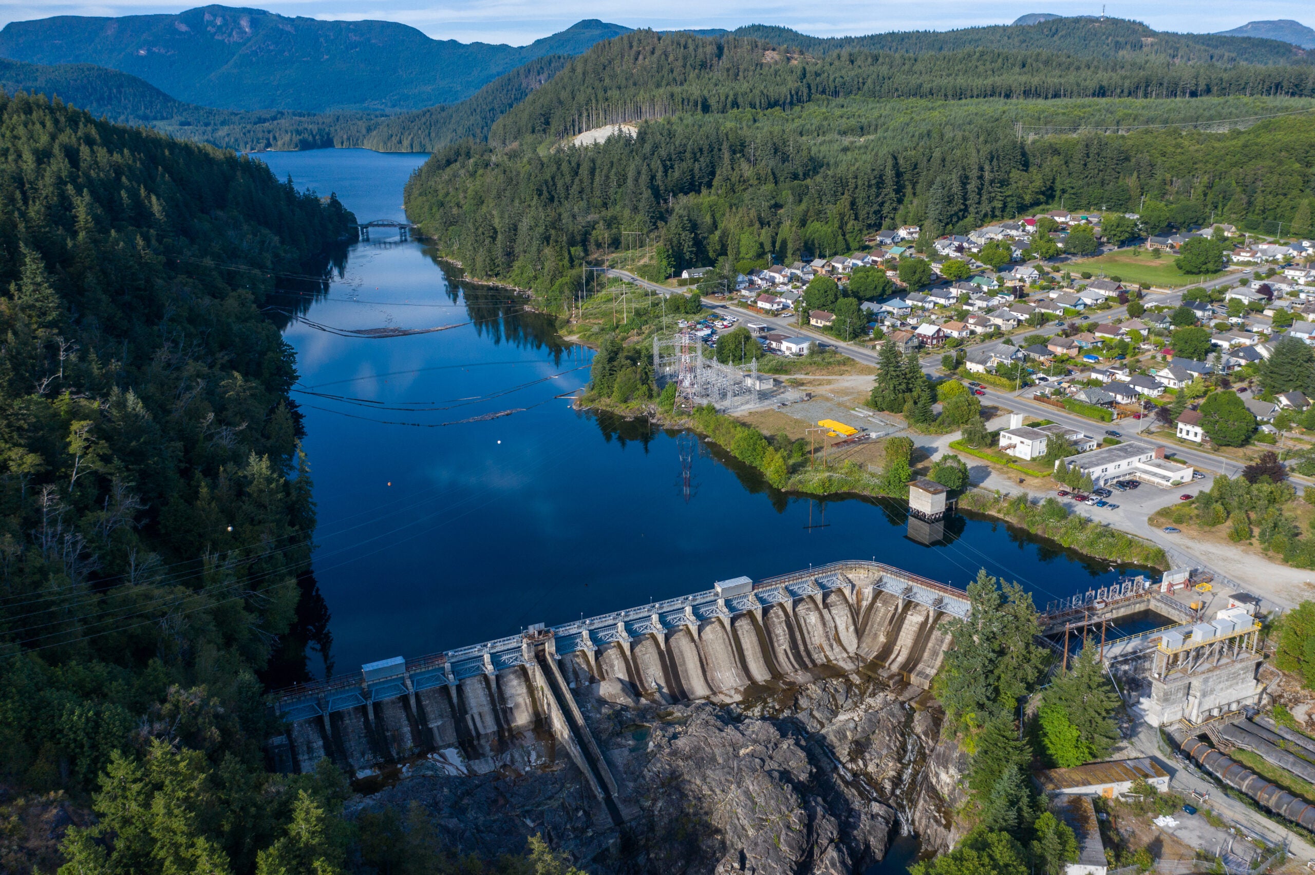
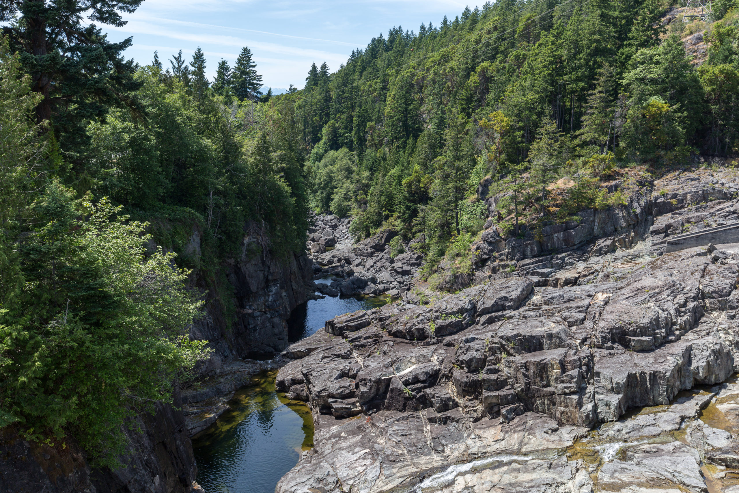
Powell River Operations
In Powell River, we own and operate two hydropower facilities, located on Lois Lake and Powell Lake. Together, these two dams generate 75 megawatts of capacity, which is equivalent to powering 65,360 homes annually. We’re proud owners, operators and developers, striving to lead Canada’s clean energy transition through creative renewable energy solutions that reflect our dedication to operating sustainably and collaboratively with our communities and partners.
Our Powell River operations consist of lake reservoirs, dams, generating facilities, and power lines. These are interesting places but it is critical that you respect warning signs and be aware of the safety tips. See our recommended safety tips below.
Public Safety
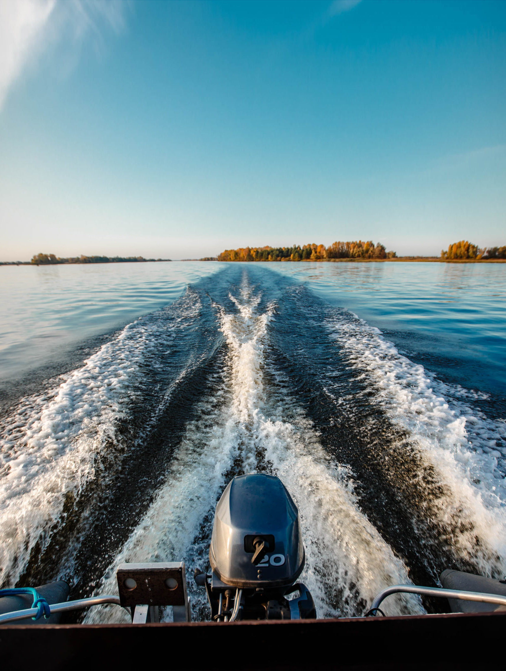
Evolugen is committed to providing a safe recreational experience at the places we operate whether they be in water or on land. Whether they be hydropower, solar, or wind facilities, or the power lines that carry electricity, this equipment can be very dangerous for those who are not aware of the risks.
PUBLIC SAFETY NEAR POWERLINES
Electrical equipment is something that we are familiar with and see in our everyday lives but can be very dangerous for those unaware of the risks. Shock hazards can occur in multiple ways, such as a person touching an electric cable, but they can also occur when a person is close to a line, without even touching anything. It is also extremely dangerous to be in contact with an object that is too close to a line, even though that object may not be touching a cable.
Be cautious of overhead power lines, substations, wires and poles when recreating and working outdoors. From flying kites to cutting trees, to using ladders or heavy equipment, always maintain a safe distance from power lines and electrical infrastructure. Never enter a substation or climb on towers and keep everything farther than 3 m (10 f) from electrical wires.
When doing work near high-voltage line, please familiarize yourself with the guidelines set out in the Together, For Your Safety and Ours brochure to help ensure your safety.
PUBLIC SAFETY NEAR DAMS
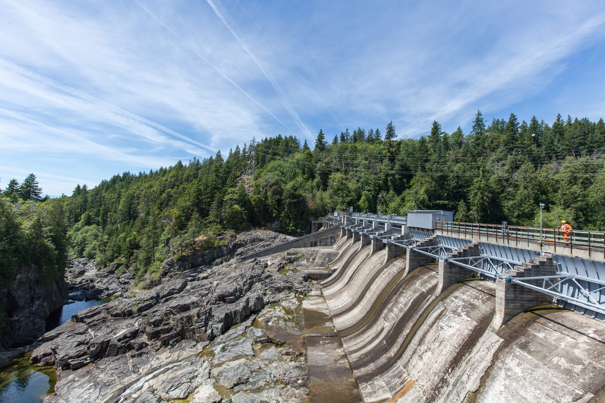
The most dangerous drowning hazards are close to dams, on each side of the structure. This is because there are gates, often located under the water surface, allowing water to go from one side of the dams to the other. For your safety, please stay clear of the dam, debris booms and water intake area. Hazards such as water flows may change quickly and without warning. Areas immediately upstream of generating facilities are dangerous for boaters and swimmers and pose a significant risk for drowning. Our fabricated debris boom has underwater structures that are particularly hazardous to swimmers. Do not attempt to swim up to, around or beneath the debris boom.
Always call 911 in the case of an emergency.
Powell Lake Level
Lake Level at
Last updated 2026-02-26 08:00:00
Lake Level(meters)
85.87
Lake Level(feet)
281.73
Lois Lake Level
Lake Level at
Last updated 2026-02-26 08:00:00
Lake Level (meters)
158.11
Lake Level (feet)
518.73
Additional Water Level &
Flow Information
For information on water levels and flows elsewhere in the watersheds, please visit:
Real-Time Hydrometric Data Graph for Theodosia River Diversion above Olsen Lake (08GC005) [BC]
Real-Time Hydrometric Data Graph for Horseshoe River above Lois Lake (08GB014) [BC]
Update on PREI’s Application to the Canadian Energy Regulator
December 18, 2025 – Powell River Energy Inc. (PREI) recently applied to the Canadian Energy Regulator (CER) for a new export license to provide an option to secure reliable customers for our energy.
Through the CER process, we have responded to requests for information from the Regulator, as well as submissions from interested parties. Our Application and related documentation can be viewed on the CER website here.
We are pleased to share a Frequently Asked Questions (FAQs) responding to key areas of interest regarding our operations.
We value our long-standing relationships with the local community, local First Nations, and remain committed to working collaboratively to support sustainable economic development, clean energy, and long-term prosperity in the Powell River region.
